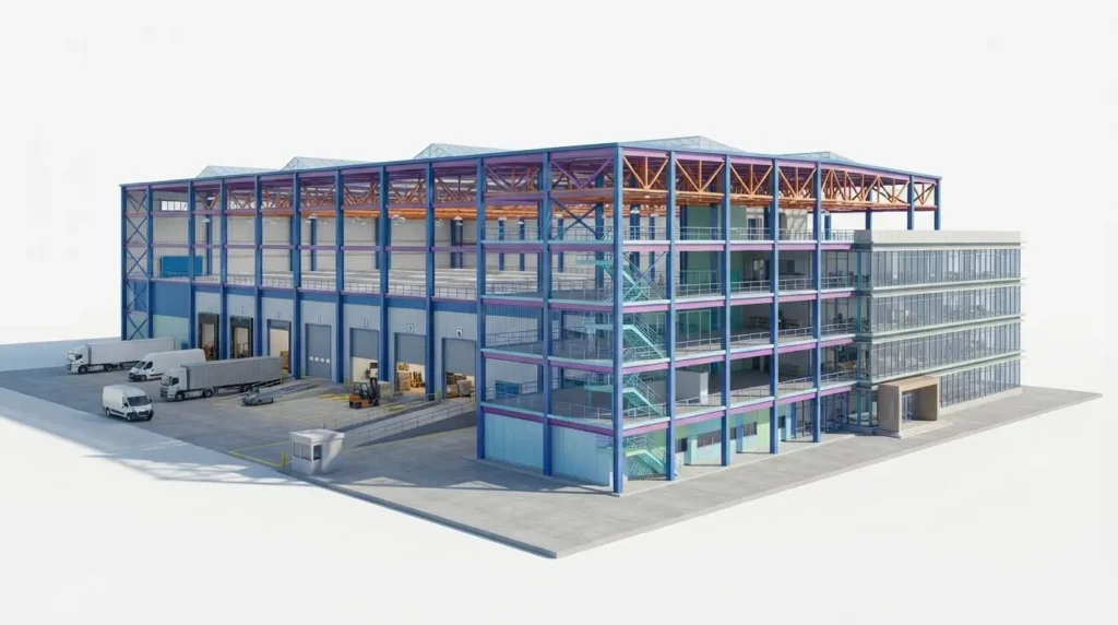
Why is simply loading a map into a model not yet considered BIM–GIS integration?
We can create a highly accurate, parameterised model of a building. We can describe every wall, door, beam and fixture. However, if the model is not correctly referenced to the plot, the site and the infrastructure, it remains a superbly designed structure… situated in an informational vacuum.
BIM tells us what we are designing and how a structure is built. GIS, on the other hand, shows where that structure is located and the spatial context in which it operates.
GIS operates at the level of individual plots, cities and regions. It combines information on topography, property boundaries, roads, utility networks, the environment and existing buildings. BIM goes much deeper — down to the level of specific building elements and their properties. It is only by combining both perspectives that a project can be analysed in its true context.
Integration does not begin with importing a file
One of the most common mistakes is to reduce BIM–GIS integration to simply loading a map as a background layer. However, one of the most important – and yet most frequently overlooked – aspects of integrating the two environments is georeference.
How do we do this in practice?
At Rex-Bud, we use GIS to prepare spatial data even before the actual modelling begins. We combine surveying and spatial data — including plot boundaries, contour lines, elevation points, roads, existing buildings, utility networks and orthophotomaps. We verify that the data is up to date and check its coordinate system, and then convert it to a common, agreed reference system.
On this basis, we create a digital terrain model which enables us to analyse elevations, gradients, slopes and the relationship between the development and its surroundings.
Depending on your needs, we can provide:
- base maps of plots and existing buildings,
- elevation data and 3D terrain,
- selected infrastructure layers.